Heading Nova
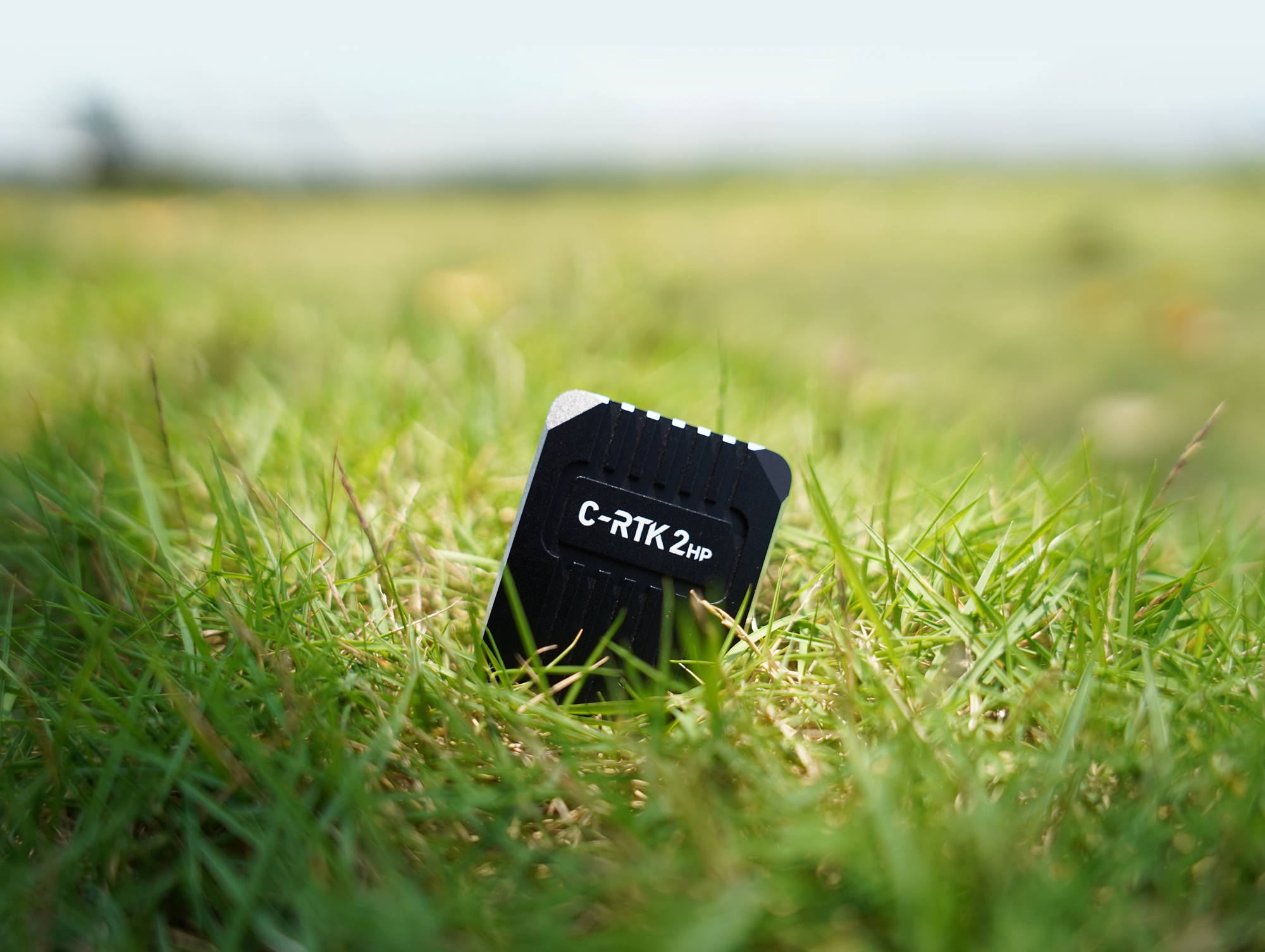
C-RTK 2HP
Dual Antenna Centimeter-Level Positioning
And Heading Module
Introduction
The C-RTK 2HP product is an All-constellation Multi-frequency
High Precision Positioning & Heading Module. A new generation of high-performance GNSS SoC chip is used, and a single chip performs baseband and RTK solver functions. The RTK processing capacity is increased by more than 80%, and the positioning service of 50+ satellites in the RTK state and the recapture time within 1s are obtained. The continuity and reliability of positioning and orientation output in complex environments are effectively dealt with. The single module supports heading function, and supports inertial navigation function. Integrated STM32F4 processor, support DroneCAN protocol for flight controller communication, built-in RM3100 industrial grade electronic compass and IMU sensor, open source code can be freely developed custom functions.
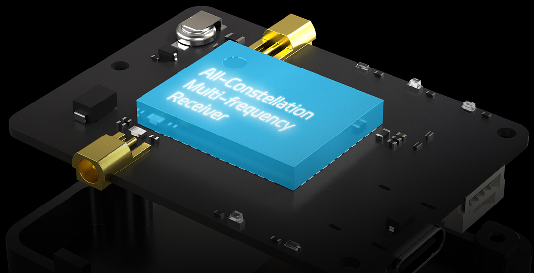
All-Constellation Multi-frequency Receiver
RM3100 Industrial Grade Compass

Dual Antenna For Yaw

Centimeter Level Positioning
All-constellation Multi-frequency High-Precision Positioning
Built-in all-constellation multi-frequency satellite receiver, support GPS, Beidou, Glonass, Galieo four satellite systems, and support four satellite systems at the same time receive, positioning accuracy plane 0.8cm+1PPM/ elevation: 1.5cm+1PPM
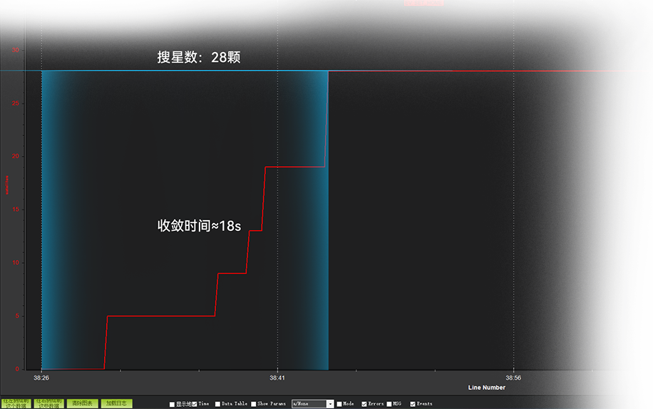
Fast Positioning Without Waiting
Through the all-constellation multi-frequency GNSS signal and the advanced RTK algorithm, the convergence can be completed within 18s and the centimeter level positioning can be realized
Single Module Dual Antenna for Yaw
The C-RTK 2HP supports one module, dual antenna to realize unmanned system estimate yaw, replacing the magnetic compass to achieve a more stable flight and adapt to complex environments at a lower cost

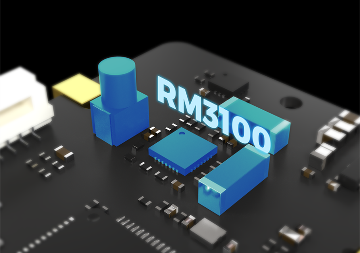
Built-in Industrial Grade RM3100 Compass
The C-RTK 2HP has an industrial-grade RM3100 compass that can be installed away from interference and can be used as a reliable redundant backup source
C-RTK 2HP Specification
| Processor | STM32F4 |
| Module type | All-constellation Multi-frequency |
| Sensor | Compass:RM3100 Grro/ACC:ICM42688 |
| Channels | 1408 channels |
| GNSS | BDS/GPS/GLONASS/Galileo/QZSS |
| Antenna 1 (main) | BDS:B1I、B2I、B3I,GPS:L1C/A、L2P/L2C、L5 GLONOSS:L1、L2,Galileo: E1、E5a、E5b QZSS:L1、L2、L5 |
| Antenna 2 | BDS:B1I、B2I、B3I,GPS:L1C/A、L2C GLONOSS:L1、L2,Galileo: E1、E5b QZSS:L1、L2 |
| Position Accuracy | Single point positioning: horizontal 1.5M/elevation: 2.5m DGPS (assisted positioning): horizontal 0.4M+1PPM/elevation: 0.8m+1PPM, RTK: Horizontal 0.8cm+1PPM/Elevation: 1.5cm+1PPM |
| Estimate yaw accuracy | 0.2 degrees/1m (distance between antenna 1 and antenna 2) |
| Max star | Single : 28 + RTK:50 + |
| Positioning speed | Cold start <30s / Auxiliary start <5s |
| Data refresh rate | 5Hz (default); Max 20Hz |
| Data format | RTCM3.X |
| Data protocol | DroneCAN/NMEA |
| Interface | Antenna interface ×2 CAN×1 UART×1 DSU×1 USB×1 |
| Operating Voltage | 4.7~5.2V |
| Operating temperature | -20~85℃ |
| Size | 50×37×17×mm |
| Weigh | 40g |


