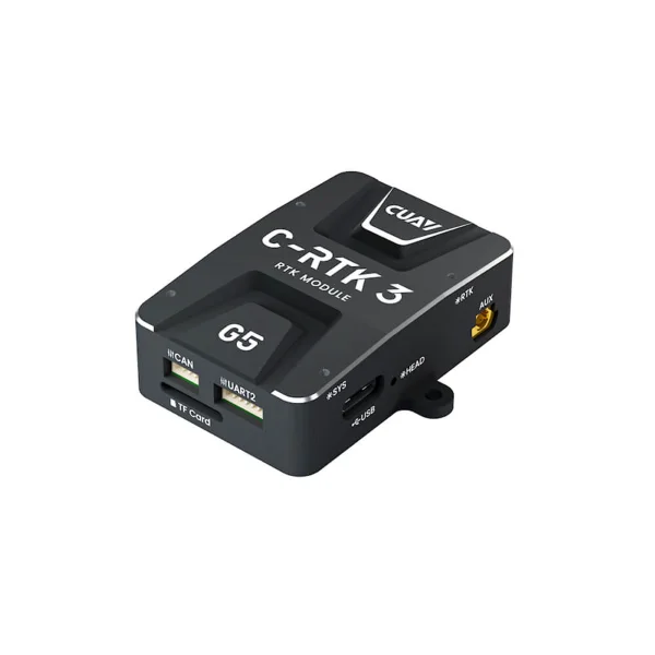
C-RTK 3 G5 Anti-Jamming & Spoofing GNSS Module
- 0.6 cm + 0.5 ppm RTK Positioning Accuracy.
- Dual-Antenna Orientation Replaces Electronic Compass and No Calibration Required
- Multi‑Constellation Multi-Band GNSS Reception System.
- STM32H5 High-Performance Processor.
- CAN FD + 20 Hz High Update Rate.
- Interference Detection and Alerting.
- All-Round Anti-Jamming & Anti-Spoofing.
- Integrated LOCK+ for Stable Tracking Under High Vibration and Shock.
- 2-Channel EVENT Inputs with Configurable PPS output.
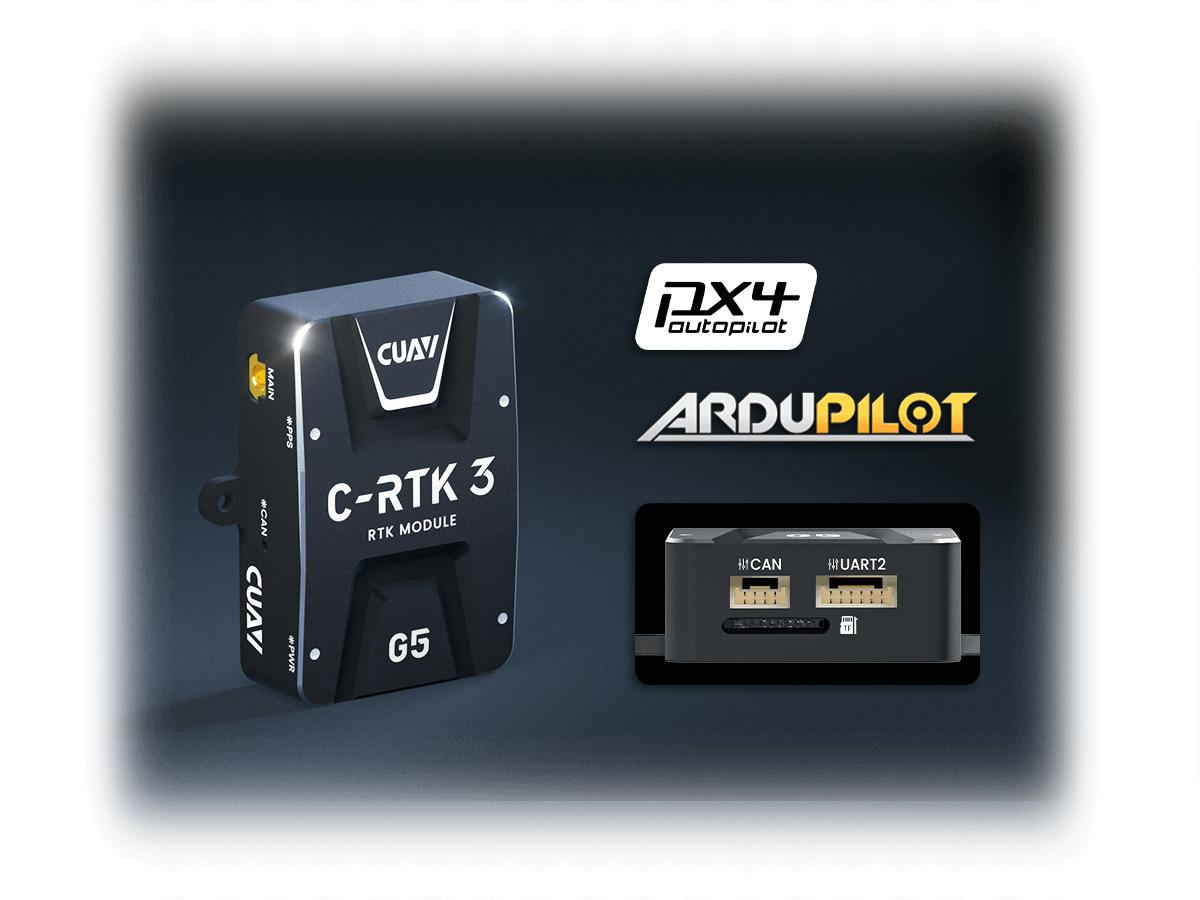
- Compatible with ArduPilot & PX4.


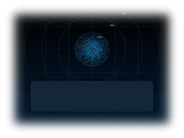
Centimeter-Level Positioning, BreakthroughSingle-Point and RTK Positioning Accuracy
It features centimeter-level RTK positioning accuracy, with a horizontal accuracy of up to 0.6 cm + 0.5 ppm and vertical accuracy of up to 1 cm + 1 ppm, and an initialization time of only 7 seconds. It supports dual-antenna heading function, enabling measurement of heading & pitch or heading & roll, providing accurate and reliable heading data. It is compatible with multiple positioning modes, such as Standalone and DGNSS, with a velocity accuracy of up to 3 cm/s. Users can switch modes according to the environment and tasks, satisfying the centimeter-level positioning and attitude perception needs of unmanned systems in complex and dynamic environments.
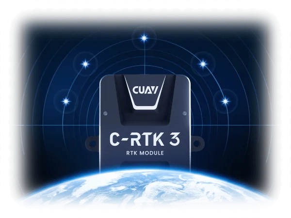
Multi-band Multi-Constellation Reception, Full Coverage in Complex Environments
Built-in with 789 hardware channels, it simultaneously receives full-band signals from GPS, GLONASS, BeiDou, Galileo, and QZSS. This significantly enhances signal acquisition capability and ensures reliable positioning even in signal-challenged environments such as urban canyons and tree-shaded areas. It is compatible with Galileo HAS precision services, and its look-ahead function can be continuously upgraded via firmware updates to maintain technological advancement.
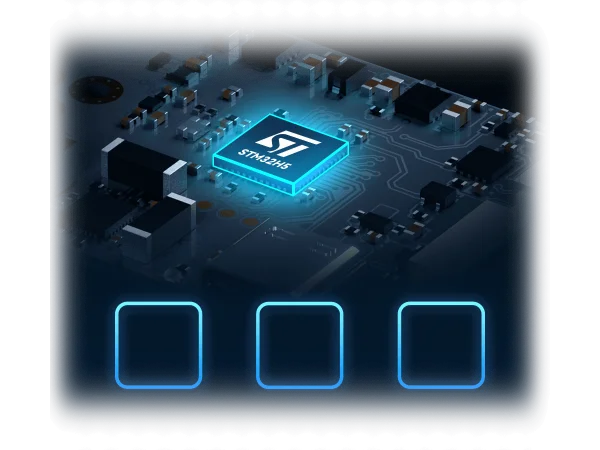
STM32H5 Processor, High-Performance Core
Powered by the STM32H5 high-performance processor featuring a 250 MHz main frequency and an Arm Cortex-M33 core, it delivers up to 1023 CoreMark of computing performance, providing ample computational support for complex algorithms.
Ture High Refresh Rate, CAN FD + High Update Rate
Industry-first integration of CAN FD bus into GNSS positioning module. Compared to traditional CAN, the data rate is increased from 1 Mbps to 8 Mbps. Optimized ArduPilot / PX4 firmware support ensures that the 20 Hz refresh rate is not limited to GNSS module performance but truly
serves centimeter-level navigation, significantly enhancing navigation accuracy.
Precise Identification, Interference Detection Display Alert
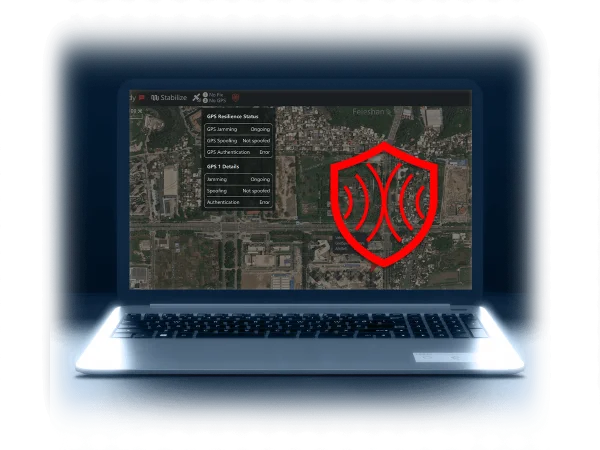
Equipped with dedicated GNSS RF interference detection technology, it accurately identifies the operating frequency band and signal strength of interfering signals. Interference information is pushed in real-time to the smart controller via DroneCAN / UART interfaces and clearly displayed on the ground station, helping users immediately understand the RF interference environment, effectively avoid risks, and ensure operational safety.
All-Round Protection Ⅰ, Powerful Anti-Spoofing
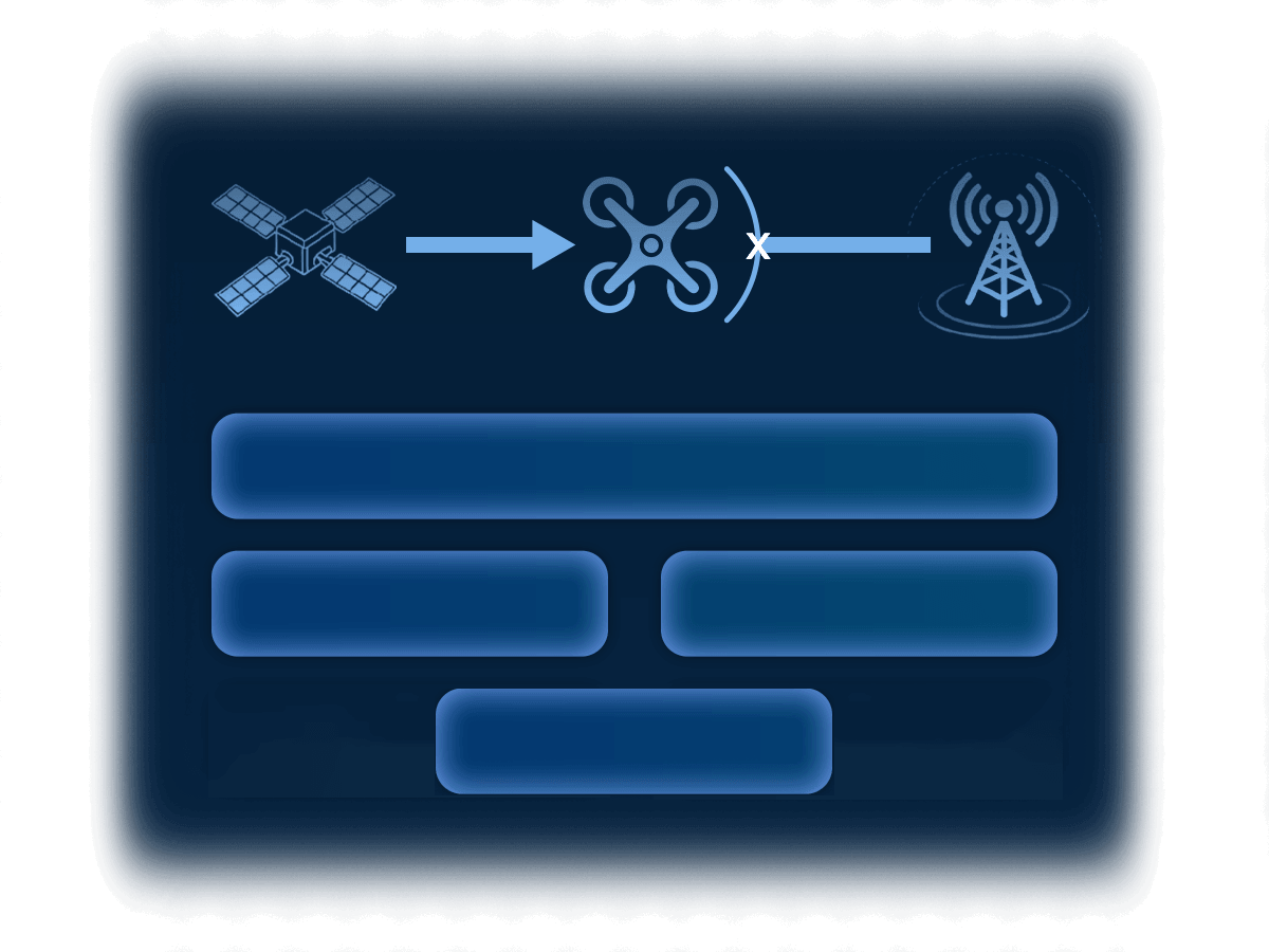
Incorporates an OSNMA satellite-level security authorization mechanism, compatible with Galileo encrypted navigation message authentication technology. This verifies the legitimacy of information at the signal source, effectively resisting positioning tampering caused by forged signal injection. It ensures the authenticity and reliability of the signal source, blocks the risk of forged signal injection, and provides secure positioning for equipment operation.
All-Round Protection Ⅱ, Robust Anti-Jamming
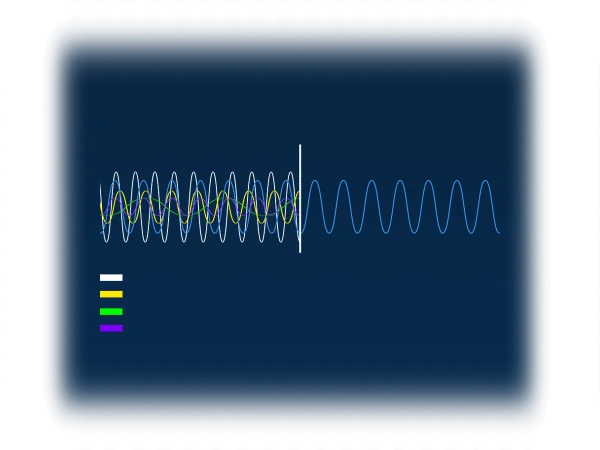
Integrates four auxiliary protection technologies —— AIM+、 APME+、 IONO+、 RAIM+ —— to systematically address issues such as multipath interference, ionospheric disturbance, data anomaly, and signal suppression, which significantly enhances the positioning stability and reliability of the system under dynamic and complex environments.
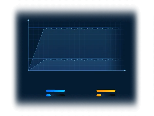
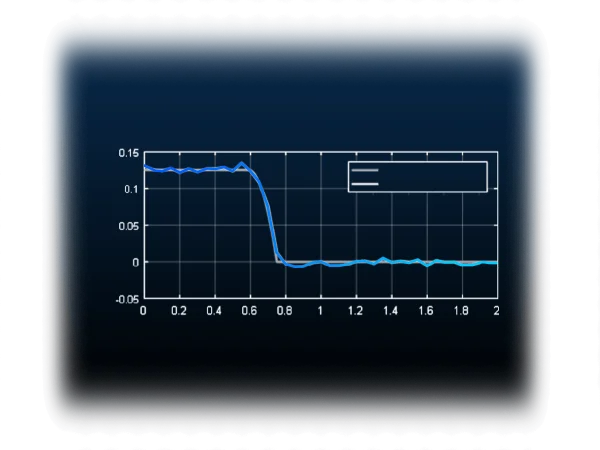
Integrated LOCK+, Resilience Against High-Frequency Vibration and Shock
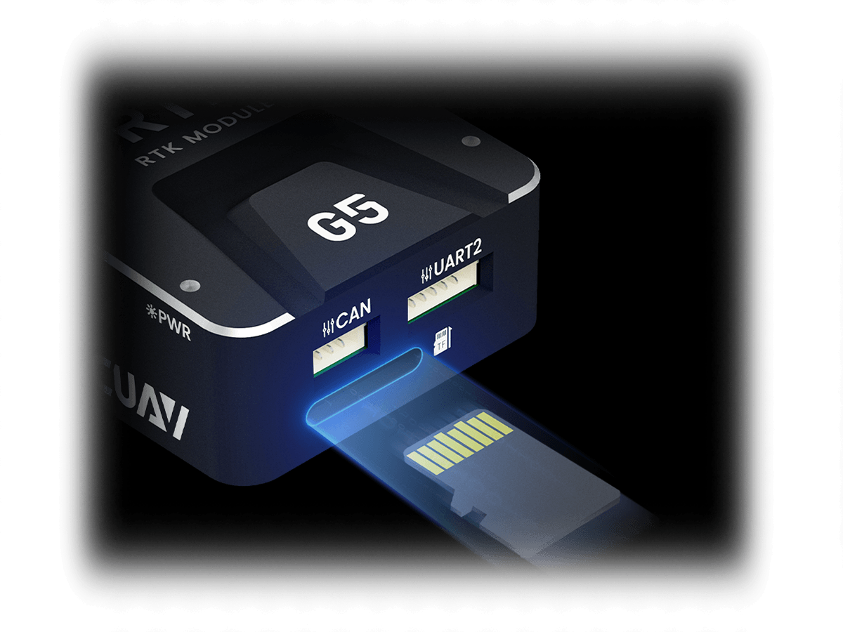
Fully Traceable Data, Support Local Data Logging
Equipped with a TF card local storage, it records comprehensive data including GNSS raw data, positioning results, attitude data, and interference logs. This ensures high data security and fast read speeds, facilitating raw data review, analysis, and performance optimization.
Extensive Ecosystem Compatibility, DroneCAN Communication Protocol
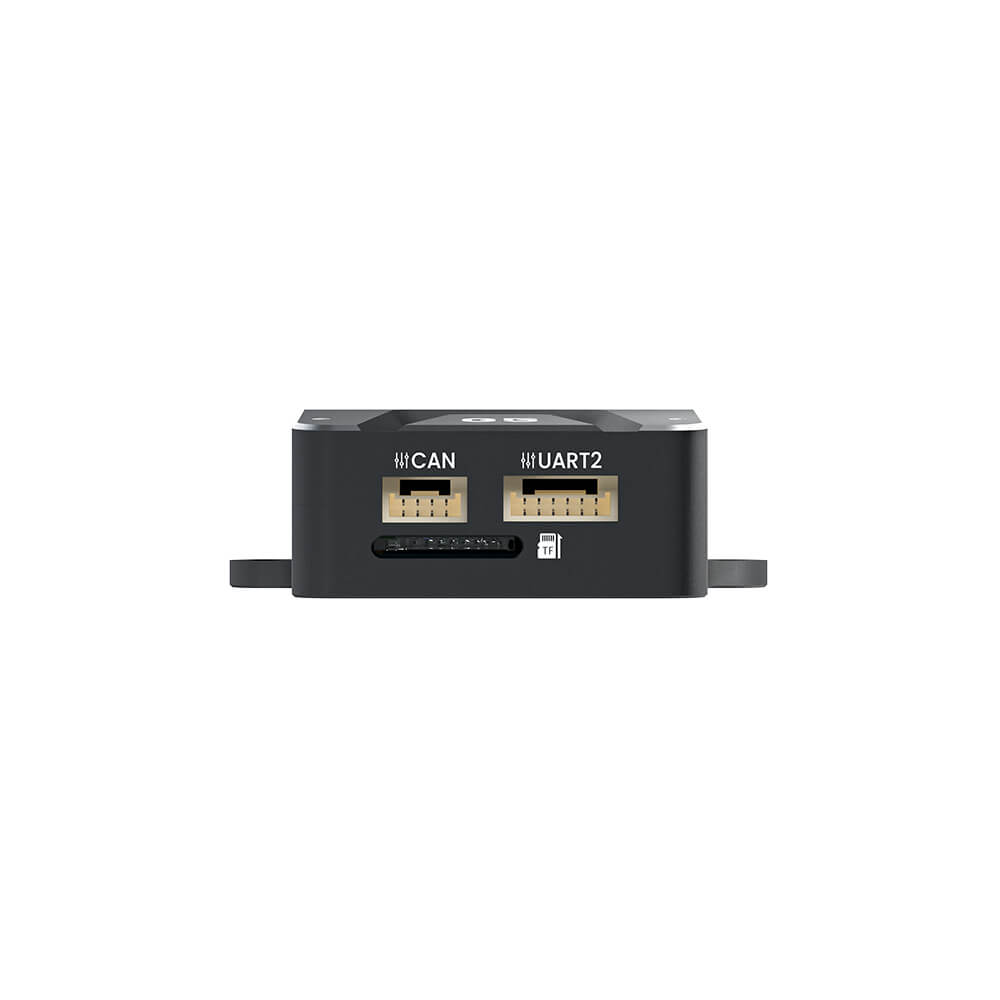
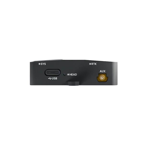
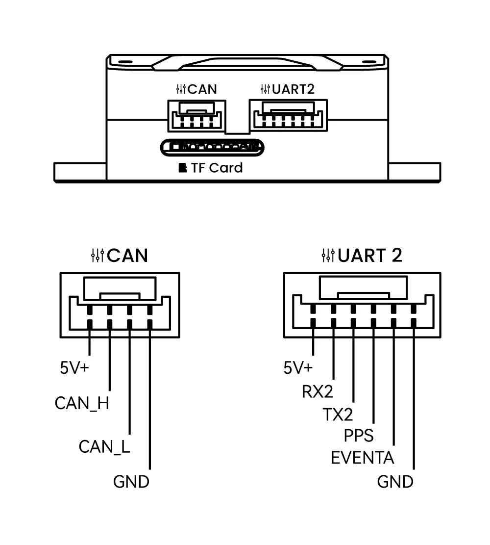
Equipped with 1 CAN, 1 UART, and USB 2.0 HS interfaces, it features high extension and rich interfaces. Adopting the DroneCAN protocol, it is fully compatible with ArduPilot & PX4 mainstream open-source platforms. Paired with CUAV open-source controllers, it is suitable for autonomous unmanned systems requiring centimeter-level positioning and high reliability, including unmanned surface vessels, robots, multi-rotors, VTOL fixed-wing aircraft, and helicopters.
Specifications & Parameters
C-RTK 3 G5 Basic Parameters | |
| Processor | STM32H5 Arm® Cortex®-M33 250 MHz |
| Hardware Channel | 789 pcs |
| Supported Constellation and Band | GPS: L1C/A、L2C、L2PY、L5、L1CGLONASS: L1CA、L2CA、L2P、L3 CDMABeiDou: B1I、B1C、B2a、B2I、B3I、B2bGalileo: E1、E5a、E5b、E6QZSS: L1C/A、L1 C/B、L2C、L5、L6 |
| Antenna Support | Dual Antenna (configurable single/dual antenna working mode) |
| GNSS+ Technical Kit | AIM+ (anti-jamming / anti-spoofing),LOCK+ (vibration & shock resistance),APME+ (multipath mitigation),IONO+ (ionospheric protection),RAIM+ (integrity monitoring) |
| Support Service | Galileo HAS Precision Service (look-ahead function, enabled upon software update), Galileo OSNMA Service |
| Raw Data Output | Support / TF Card Recording |
| Positioning Accuracy | Standalone Accuracy: Horizontal 1.2 m, Vertical 1.9 m DGNSS Accuracy: Horizontal 0.4 m, Vertical 0.7 m RTK Accuracy: Horizontal 0.6 cm + 0.5 ppm Vertical 1 cm +1 ppm |
| Velocity Accuracy | 3 cm/s |
| Heading Accuracy | At 1 m antenna separation, heading accuracy: 0.15 °At 5 m antenna separation, heading accuracy: 0.03 ° |
| Max Update Rate | 20 Hz |
| RTK Initialization Time | 7 s (baseline < 40 km) |
| Time Accuracy Related | PPS Resolution: 1.4 ns Event Accuracy: <3 ns Cold Start Time: <35 s (no Ephemeris, no Coarse Position)Hot Start Time: <10 s (with Ephemeris, with Coarse Position)Re-Acquisition Time: 1 s |
| Tracking and Acquisition Threshold | Tracking Threshold: 20 dB/HzAcquisition Threshold: 30 dB/Hz |
| Electronic Compass | RM3100 |
| Measurement Range | ±1100 μT (wide dynamic magnetic field adaptation) |
| Resolution | 13 nT@200 Cycle Count; Detection Sensitivity 2.7 nT at 1Hz |
| Noise Level | 15 nT@200 Cycle Count; Noise Floor 4 pT/√Hz (1Hz) |
| Linearity | 0.50% within ±200 μT |
| Protocol | DroneCAN |
| Communication Rate | 1 Mbit/s ( CAN )8 Mbit/s ( CAN FD ) |
| Upgrade Support | Support |
| Firmware | C-RTK 3 M4C |
Port Type | |
| Data Interface | JST GH 1.254P/TYPE-C USB |
Hardware Parameters | |
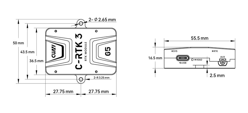
| Size | 55.5×50×16.5 mm [Includes screw holes] |
| Weight | 43.5g(Excludes antenna and feeder cable) |
| Operating Temperature | -10℃~+80℃ |
CRA-602 Antenna Specifications | |
| Horizontal coverage angle | 360° |
| Polarization | Right-hand circular polarization |
| Gain(dB) | 38±2 |
| Connector type | SMA-J |
| Antenna size | Φ40*84.5 mm |
| Antenna weight | 36 g |
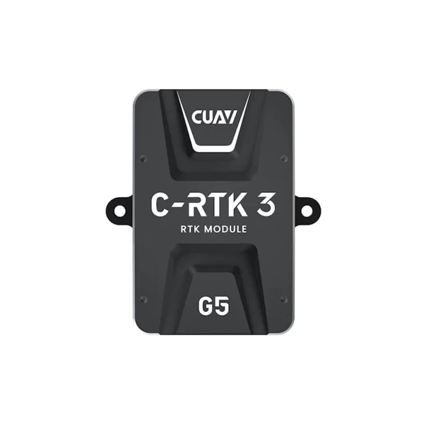
C-RTK 3 G5 Dimensions chart
C-RTK 3 G5 Pinouts
C-RTK 3 G5 Video
ArduPilot, Dronecode, and PX4 Long-Term Partners
CUAV Tech Inc., Ltd. is a National High-Tech Enterprise and Guangdong Provincial Specialized, Sophisticated, Innovative SME that focuses on open-source unmanned system innovation technologies. It integrates R&D, production, sales, after-sales service, and technical support into a cohesive operation. The company maintains long-term collaborative partnerships with leading open-source organizations such as ArduPilot, Dronecode, and PX4.